The Republic of Srpska is geographically a part of the Dinaric Mts. system (PDF file).
Geologically, it is dominantly made up of Mesozoic carbonate rocks, bordering on the Pannonian Basin in the north, and on an ophiolite melange and the Drina-Ivanjica Element in the northeast. In a typically karst area, most of the registered geo-heritage sites aremorphological, speleological or hydrologicalfeatures. Also, typical paleontological sites are noted. In charge of the geo-heritage protection is the Republic's Institute for Protection of Cultural Monuments and Nature, which has its agencies in Pale, Banja Luka and Trebinje.
In this new country (formed in 1995), two large natural units have been protected so far:
Both parks are karst areas of marked morphology and numerous karst features.A few activities were initiated toward popularisation of the geo-heritage: Two scientific panels (2000, 2001) included workshops on the Earth Heritage, and about thirty natural occurrences are listed for a preliminary Inventory of the Geo-Heritage Sites. The Institute have opened posts forgeologists and geographers and plans a network ofspecialists interested in geodiversity and geo-heritage.
Petar Begović
Jelena Kadić
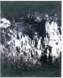
 Vagan Cave:
Located 15km from Šipovo, western Republic of Srpska, the cave opens at the altitude of 919.5 m.The total passage length is 420.5 m, surface area 1704 m2, and volume about 8500 m3.
Vagan Cave
is the oldest level of the large Vaganjac-Janj-Pliva-Vrbas cave system.It abounds in speleothems, mostly on cave ceiling and walls.
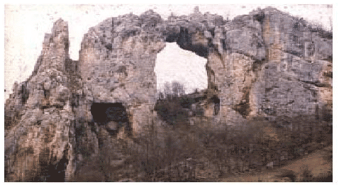
 Kameni most:
A large-size window formed by selective erosion in alimestone ridge of Mačkica Kamen near Ključ.Author of all slides is Goran Dujaković
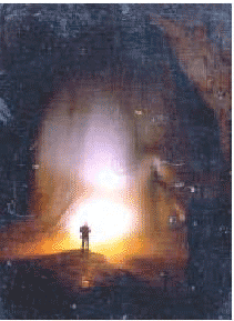
 Ledana:
The largest speleological site of the Republic of Srpska, near Gornji Ribnik on Bobija Mt. slope. Huge icehummocks and ice speleothems, such as an ice plate 16 m thick and an ice stalagmite 15 m high, are buttwo details in passages of this cave 180 m long. Goran Duyaković
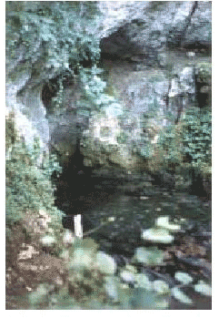
 The Pliva source:
This river source consists of three springs in limestone at the foot of Smiljevac Mt.(1647m)characterized by extreme permanence of hydrological features over the hydrological year (Qmin/Qmn/Qmax=1/2.5/4).
The area of the springs, the Pliva lakes, and 22 km of the river course between the source and the lakes is proposed for conservation.